
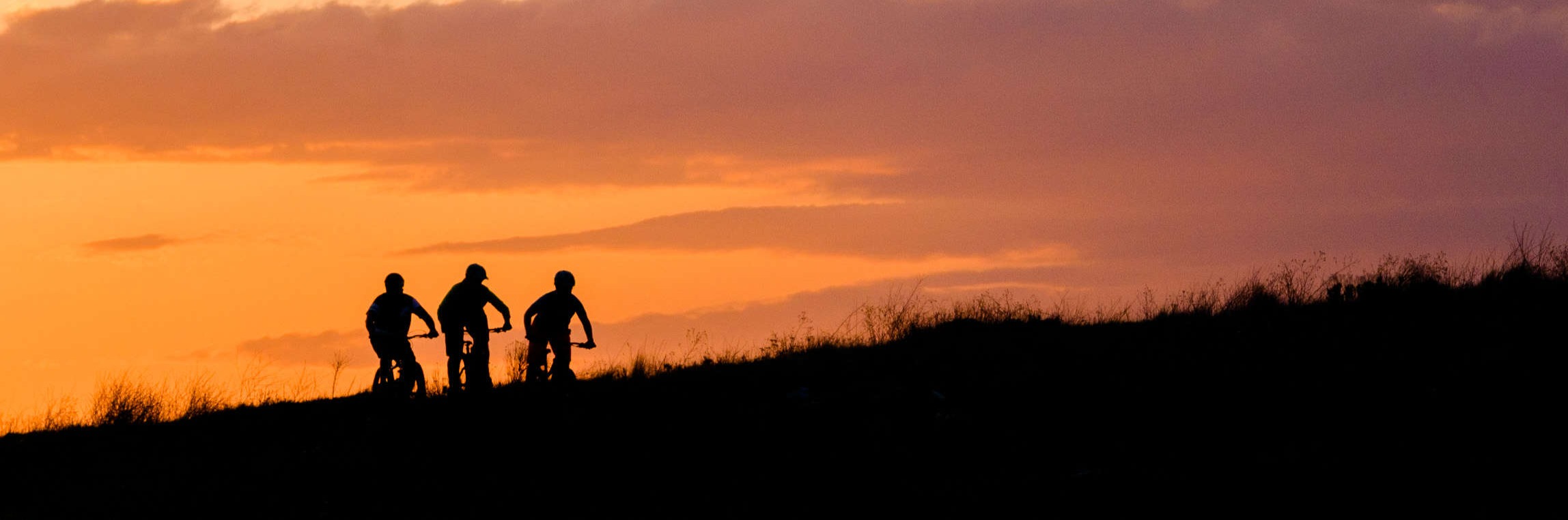
FIVE TRAIL SYSTEMS TO RIDE IN SPOKANE
Between city and county parks, two of Washington’s largest state parks, and nearly ten thousand acres of conservation areas, Spokane’s trail system sprawls. And no matter which direction you go, it’s hard to go wrong; mountain bikers could easily be forgiven for sticking with their tried-and-true trail networks. But the area offers a staggeringly diverse set of riding options, from modern flow trails to cross-country epics to subalpine steeps. Whether you’re new to the sport, new to the area, or just looking to add somewhere new to your riding routine, here are five of the area’s best and most beloved trail systems for mountain biking.
Riverside State Park
One of Washington’s largest state parks, Riverside State Park occupies over eleven thousand acres of pine trees and basalt outcroppings along the Spokane and Little Spokane Rivers. Nearly sixty miles of mostly mellow trails mean this is the place for long conditioning rides or short Singletrack 101 laps with younger riders. Trail 25 is the main artery for the park, but countless marked and unmarked junctions mean it’s often best to just set out with a sense of exploration and time to spare. Several trailheads service the park; a good bet is the trailhead off 7 Mile Road near the airstrip, former home to the long-running 24 Hours in Riverside race.
Iller Creek
The five-mile loop at Iller Creek Conservation Area, in Spokane Valley, is a classic among area riders for the aerobic effort it demands and the thrills it provides in return—its buffed turns and waterbar jumps have evoked flow-trail feelings since before flow trails were a thing. From the main trailhead on Holman Road, the preferred route climbs clockwise, with a three-mile grind up Iller’s east ridge. More than a thousand feet of elevation gain later, take in the iconic view of the Rocks of Sharon before launching into a fast, flowy descent through a gauntlet of hardwoods back to the trailhead. (Iller Creek is extremely popular with hikers and dog-walkers, too; be courteous of other users, especially in the blind corners, and plan your fully pinned descents for off-peak hours).
Beacon Hill
The crown jewel of Spokane’s MTB trail networks, this mix of city, county and private land just ten minutes from downtown boasts nearly fifty miles of trails, from the push-bike-friendly pump track to the notorious expert-level slabs and steeps of Zipper and Brain Damage. Beacon Hill is often the first choice of both long-time locals and out-of-area visitors, and for good reason.
Two main portals access Beacon’s trail network. From Camp Sekani Park on the east side of Beacon, ascend Upchuck, the name of which belies its pleasant grade, and take your pick of descents. Stalingrab, an intermediate flow trail, is a good introduction; beginners can easily roll over (or ride around) all the features, but more advanced riders can send the mix of doubles and tabletop jumps. Or, from Esmeralda Golf Course on the west side, climb Esmeralda (locally known as “Ezzie”) to the power substation. From here, the intermediate Yard Sale showcases a bit of everything Beacon has to offer: small rock rolls, buffed rollers and chunky hand-cut singletrack.
In total, the two portals access some sixty named trails, with Ezzie favoring slabs and Sekani offering the bulk of the area’s modern flow trails. And with a top-to-bottom elevation difference of no more than 600 feet, Beacon’s network of short, interconnected trails is popular for lunch laps and after-work rallies.

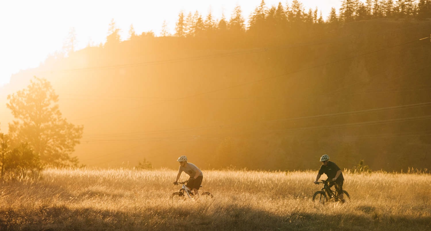
Saltese Uplands
Spokane County acquired Saltese Uplands Conservation Area, just west of Liberty Lake, only ten years ago, but mountain bikers have quickly taken to its trail system. Seven miles of trail trace the open hillsides, where springtime brings one of the region’s best wildflower shows. With a trailhead close to Interstate 90 and short but satisfying loop options, Saltese is ideal for an after-dinner lap—and its consistently stunning sunsets are the perfect dessert.
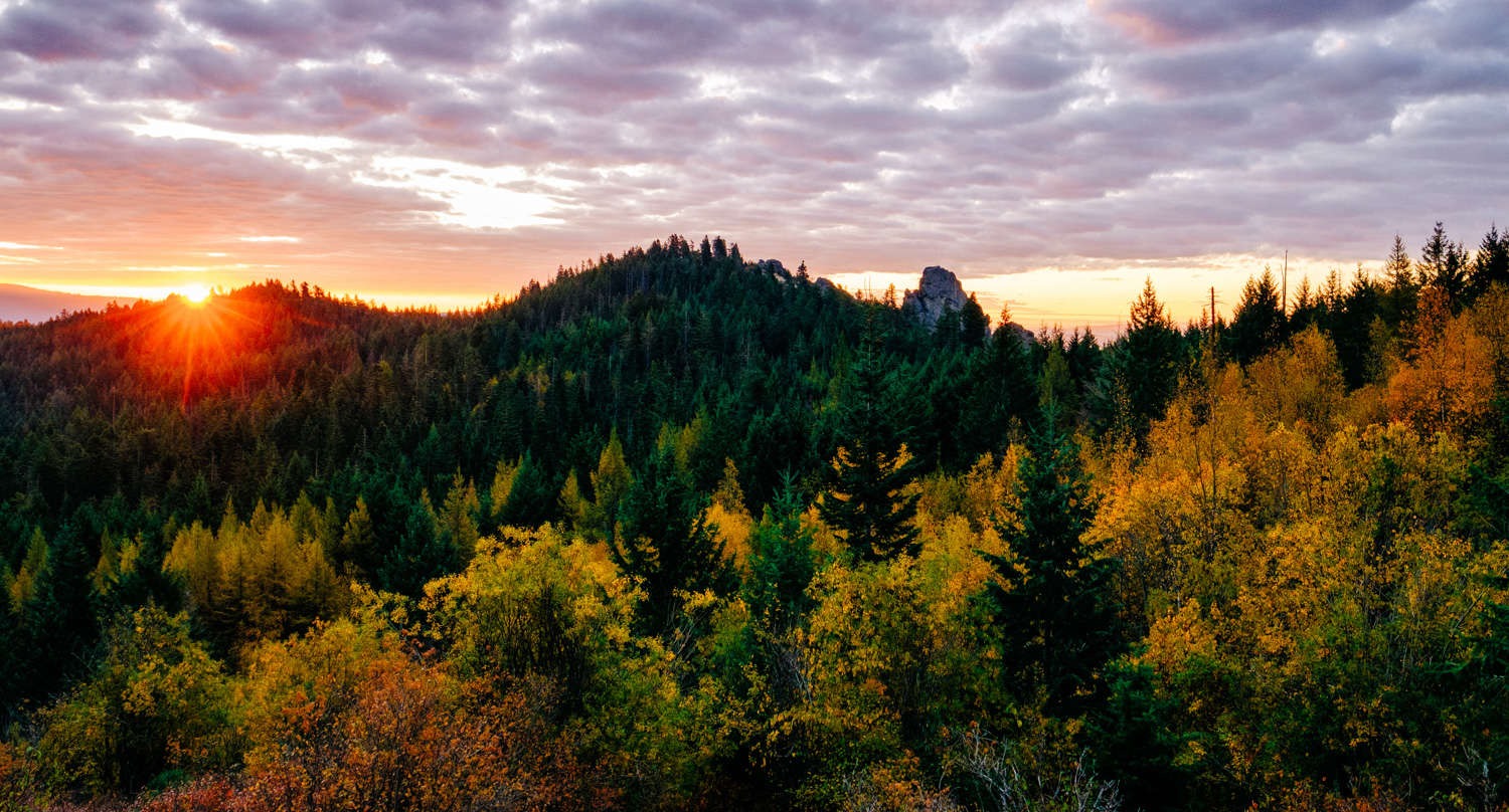
Mount Spokane
For a big day, head to Mount Spokane State Park, a 40-minute drive from downtown.
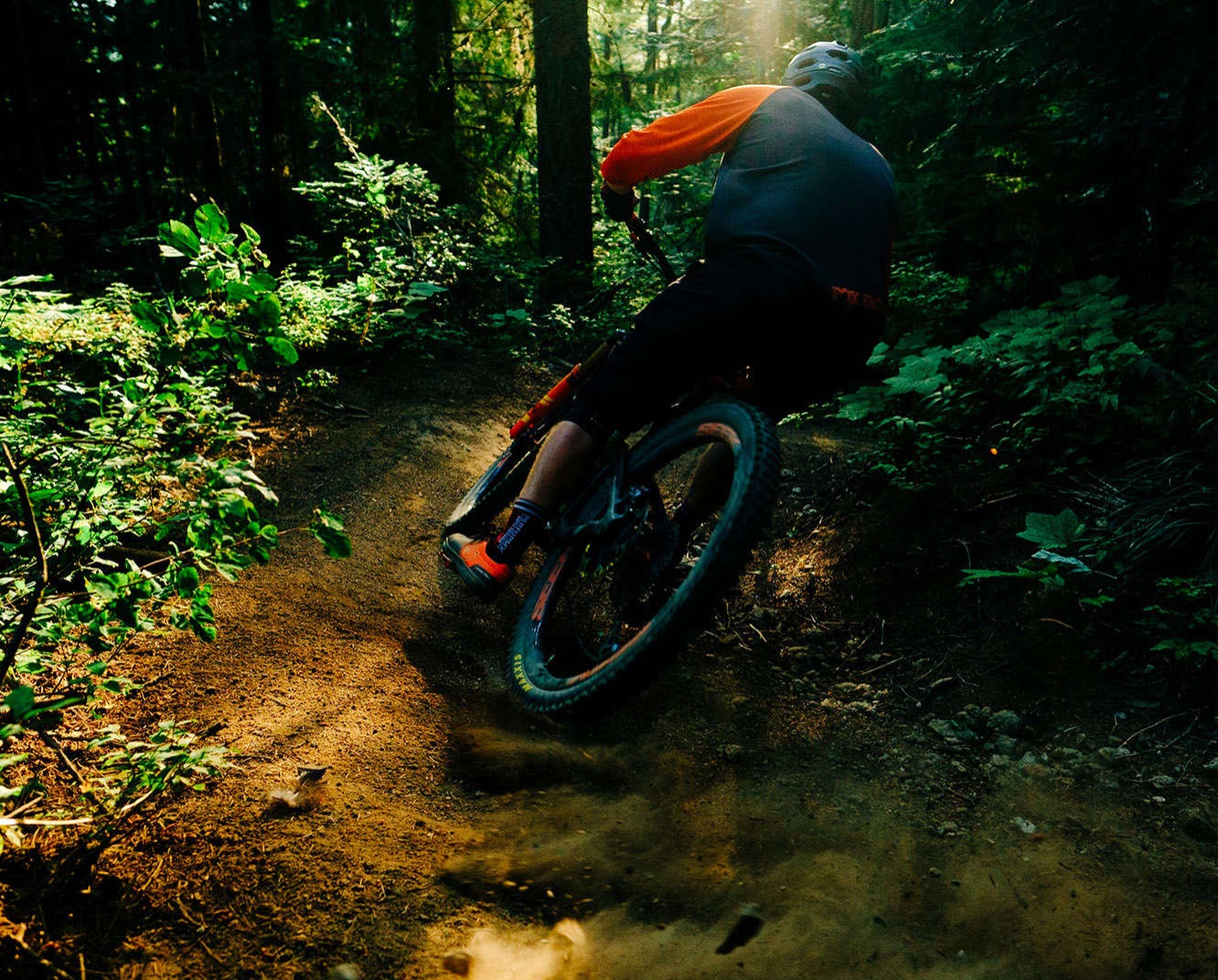
The largest of Washington’s state parks, Mount Spokane sprawls across 13,000 acres and more than three thousand feet of vertical, from subalpine meadows at the top to dense, mossy cedar forest at the bottom. And, with a road to the summit, it’s an easy shuttle if you prefer to save your energy for the descents.
From the top, drop into Trail 140. It’s a six-mile, 3,000-foot descent that traverses talus fields on the state park’s ski runs, enters the trees for smooth, high-speed turns and then finishes with steep root drops and the narrow, knuckle-shredding Jedi Trees of the bottom section. From a parking area halfway up the mountain, The Goods (trail 290) trades some of Trail 140’s steepness for trail features—off-camber root sections, berms and side hits—over the course of its three miles and nearly eighteen hundred vertical feet.